Log in
All resources
Create a design
6,143 Free Images of Map Symbols
bibliothèque nationale de france
john rocque
john rocque's 1748 map of london and adjacent country
1596 maps of africa
curt teich postcard archives
1529 maps of iran
propaganda map
reconstruction of ruysch's africa map by stanley
postcards published by mid-west map
1529 maps
curt teich postcard archives
postcards of miami, oklahoma
curt teich postcard archives
postcards of tulsa, oklahoma
arnold van langren map of southwest africa
cartouche (cartography)
r. hausermann, carte de la terre sainte, 1914
eran laor cartographic collection
map of paris by françois quesnel
hôtel du petit-bourbon
cornelius aurelius world map
1916 maps
map of europe by guillaume sanson (1674)
1677 maps of europe
map of italy by guillaume delisle (1700)
1700s maps of italy
bern city map of 1638 by matthäus merian
baroque
workers in propaganda
symbols of communism
symbols and emblems from symbola et emblemata
birds of paradise in heraldry
symbols and emblems from symbola et emblemata
birds of paradise in heraldry
illustrations by true williams
roughing it (1872)
1470s maps of africa
1477 maps
ptolemy's 3rd african map
1477 maps
historical images of the hôtel d'angoulême lamoignon
turgot map of paris – derivative files
marble flooring in the netherlands
burgerzaal
marble flooring in the netherlands
burgerzaal
turgot map of paris, kyoto university library – derivative files
maps of palais de l'élysée
charles brooking's map of dublin (1728)
the custom house, dublin (1707)
proveniershof, haarlem
1689 map of haarlem
1529 maps of iran
1529 maps
1529 maps of iran
1529 maps
carriages in the 1680s
prints of haarlem
maps of the ottoman empire by mercator-hondius
eran laor cartographic collection
1529 maps of iran
1529 maps
maps of the ottoman empire by mercator-hondius
eran laor cartographic collection
curt teich postcard archives
map postcards
1529 maps of iran
1529 maps
reconstruction of ruysch's africa map by stanley
new light on dark africa (dulcken)
reconstruction of ruysch's africa map by stanley
dans les ténèbres de l'afrique (1890)
reconstruction of ruysch's africa map by stanley
im dunkelsten afrika (1890) by wobeser
john and sebastian cabot. a study (1886)
map of juan de la cosa
reconstruction of ruysch's africa map by stanley
stanley in afrika's donkere wildernissen (1890)
reconstruction of ruysch's africa map by stanley
im dunkelsten afrika (1890) by wobeser
early netherlandish painting
t and o map
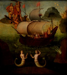
paintings of mermaids
london
mural crowns in crest of finland
symbols of joensuu
arnold van langren map of east africa
1600 maps of africa
john rocque's 1748 map of london and adjacent country
bibliothèque nationale de france
john rocque's 1748 map of london and adjacent country
bibliothèque nationale de france
map of amsterdam by gerrit de broen (ii)
bibliothèque nationale de france
john rocque's 1748 map of london and adjacent country
bibliothèque nationale de france
map collection of leibniz-institut für länderkunde
19th-century maps of the bosphorus
john rocque's 1748 map of london and adjacent country
bibliothèque nationale de france
map of amsterdam by gerrit de broen (ii)
bibliothèque nationale de france
john rocque's 1748 map of london and adjacent country
bibliothèque nationale de france
arnold van langren map of southwest africa
1596 maps of africa
map of amsterdam by gerrit de broen (ii)
bibliothèque nationale de france
john rocque's 1748 map of london and adjacent country
bibliothèque nationale de france
john rocque's 1748 map of london and adjacent country
bibliothèque nationale de france
map of vienna by jacob hoefnagel
roter turm, vienna
john rocque's 1748 map of london and adjacent country
bibliothèque nationale de france
map of vienna by jacob hoefnagel
roter turm, vienna
descriptio daciarum (17th-century map)
maps by pieter van der keere
map of amsterdam by gerrit de broen (ii)
bibliothèque nationale de france
city seals of denmark
symbols of malmö
birch's views of philadelphia
books about philadelphia
maps by girolamo porro
1596 maps of africa
dexter press postcards of arizona
curt teich postcard archives
maps by girolamo porro
1596 maps of africa
postcards with 2 images
map postcards
maps by girolamo porro
1596 maps of africa
amsterdam in the 1540s
agnietenkapel
bologna ptolemy
1477 maps
old maps of the london underground
maps by macdonald gill
1747 persia map by emanuel bowen
details of old maps
1652 maps
shipmills
turgot map of paris, kyoto university library – derivative files
couvent des capucines
turgot map of paris, kyoto university library – derivative files
petit luxembourg on old maps
bulbophyllum auricomum - botanical illustrations
curtis's botanical magazine (orchidaceae)
map of brugse vrije by pieter claeissens de jonge
drawings in the groeningemuseum
etchings in the national gallery of art (washington, d.c.)
mannerism,utrecht caravaggism
san giovanni battista (venice giudecca)
demolished churches in de barbari map
coats of arms of the tsardom of russia
details of sigismund's map of moscow
1747 persia map by emanuel bowen
maps in the library of congress
map collection of leibniz-institut für länderkunde
maps of portugal by fernando álvares seco
symbols and flags from the catalan atlas
historical flags of egypt
symbols and flags from the catalan atlas
historical flags of egypt
blue coat school, dublin
1906 books
hendrik van langren map of south asia
1596 maps of asia
postcards of st. louis, missouri
curt teich postcard archives
collections of the amsterdam museum
hasan çolpan
hendrik van langren map of south asia
1596 maps of asia
john rocque's 1746 map of london
old and new london (book)
hendrik van langren map of south asia
renaissance
prints by cornelis anthonisz. in the rijksmuseum amsterdam
map of amsterdam, 1544
postcards of ottawa county, oklahoma
curt teich postcard archives
details of old maps of amsterdam
jan roodenpoortstoren
1830s maps of the world
maps by daniel lizars
illustrations by true williams
roughing it (1872)
série 10. paris. couvents. communautés
drawings in musée carnavalet
drawings in musée carnavalet
couvent des petits pères
map of the circle of austria by sanson
context files from gallica
map of the circle of westfalia by sanson
1680s maps of germany
map of the circle of franconia by sanson
1680s maps of bavaria
maps by girolamo porro
1596 maps of africa
olive branches (symbol of peace)
angels with objects
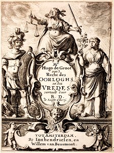
scales of justice
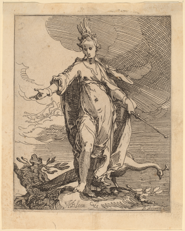
gorgon
1529 maps of africa
1529 maps of iran
2501 - 2600 of 6,143
Next page
/ 62


![Map 12 [Tabula 12], 1477](https://cdn.creazilla.com/illustrations/10000439389/map-12-tabula-12-1477-md.jpg)